Strata Archeo
None of these views is a mock-up: they are a few of the software's many panels, exactly as they appear on screen.
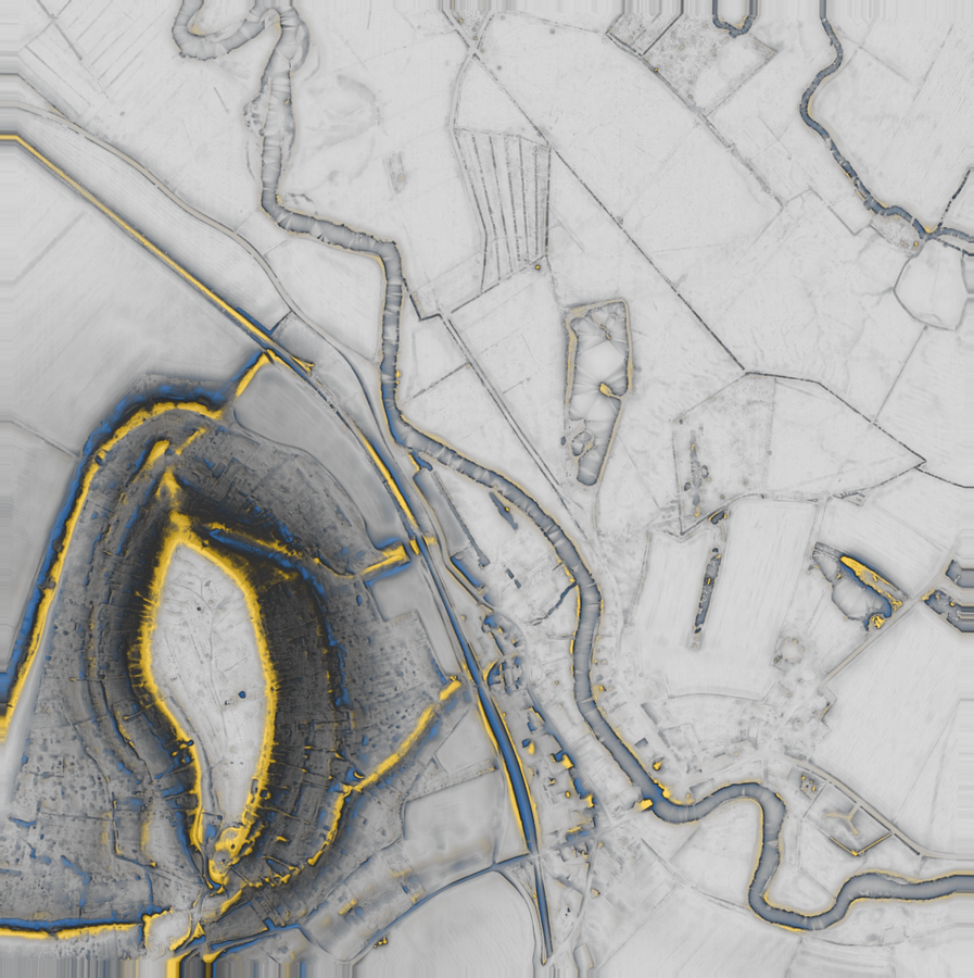
From raw data to deliverable.
Strata automates the whole LiDAR survey chain: data acquisition, processing, visualisation, detection, filtering and production of the deliverables. Drawing an extent is enough.
Without Strata
- Tiles hunted down one by one
- QGIS, PDAL and a spreadsheet made to talk to each other
- Every computation launched by hand
- Radii and azimuths tuned yourself
- Edges to stitch, duplicates to settle
- Spotting by eye, with no written criterion
- Cadastre opened for every mound
- Report laid out by hand
With Strata
- Extent drawn, tiles found on their own
- One piece of software, entirely local
- One command, progress in figures
- Seven layers at the settings of the literature
- Campaigns resumed, duplicates merged
- Four measured criteria per candidate
- Buildings, roads and monuments cross-checked
- PDF report, GeoPackage, Shapefile
Strata does not replace the archaeologist: it hands them an ordered, argued and verifiable list, where they used to spend the day building it.
Blind test
177 listed monuments, 63,9 km², positions unknown to Strata. The protocol and the data are reproducible.
DETECTION — 177 MONUMENTS, 63,9 km²
NAMING OF DETECTED STRUCTURES — 60 SITES
Perpetual licence, per seat
Net prices, VAT not applicable — article 293 B of the French tax code. Sale by quotation, payment by bank transfer.
Standard
- Unlimited areas, up to 4 km²
- GeoPackage and Shapefile export
- Full report, without attribution
- Archive extraction
Complete
- Unlimited areas, up to 25 km²
- Tile-by-tile batch processing
- Consolidated campaign GIS export
- Learning from your verifications
Let’s talk about your project
Quotation, multi-seat licence, demonstration on an extent you know, a question from an IT department: write, we answer.